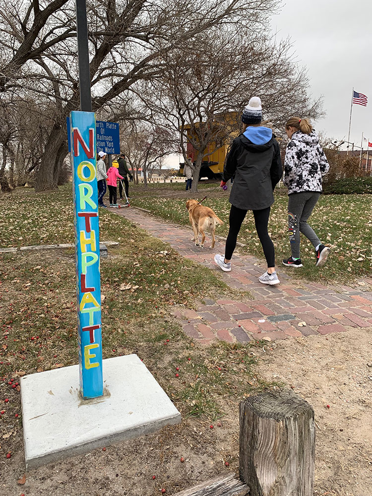
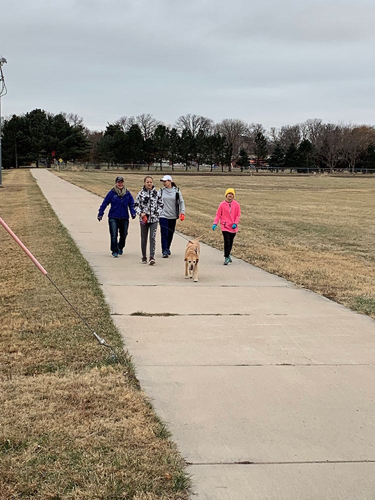
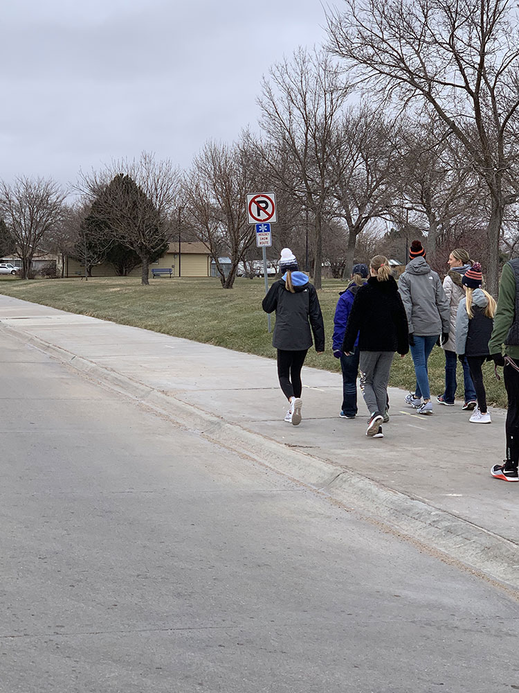
Bicycle & Pedestrian Trails | North Platte, NE

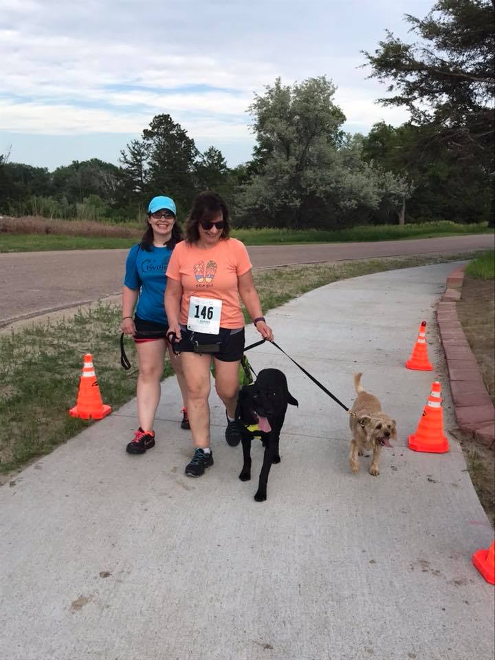
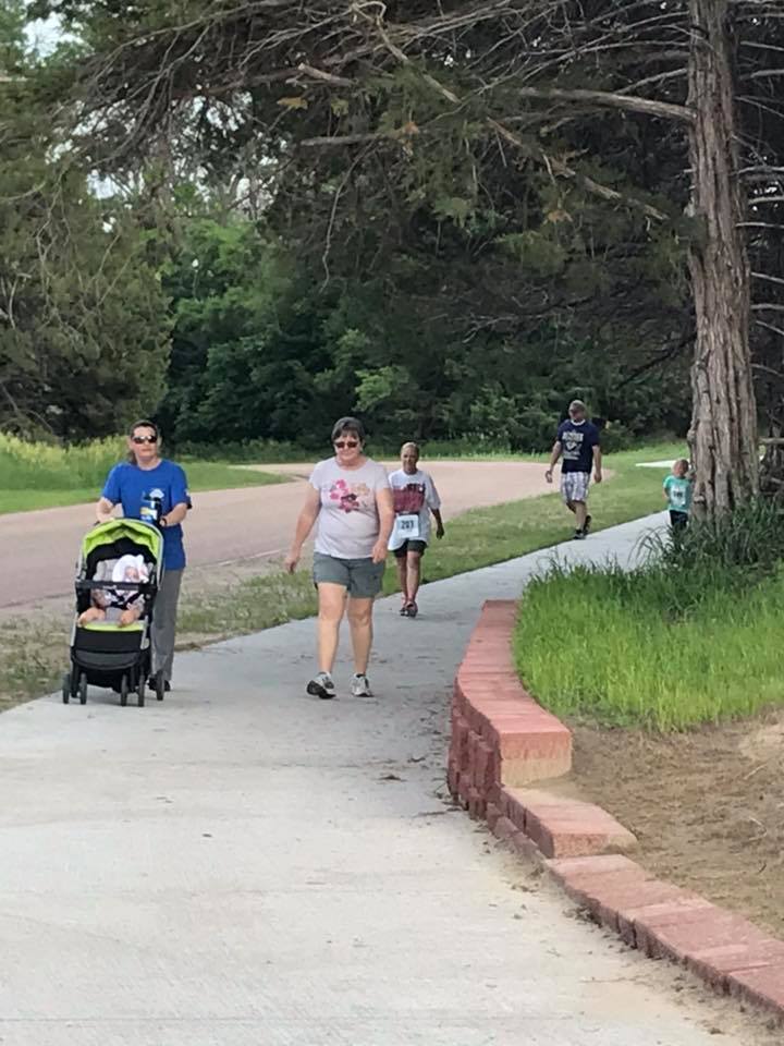
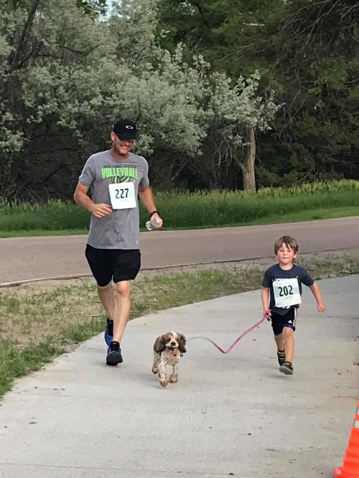
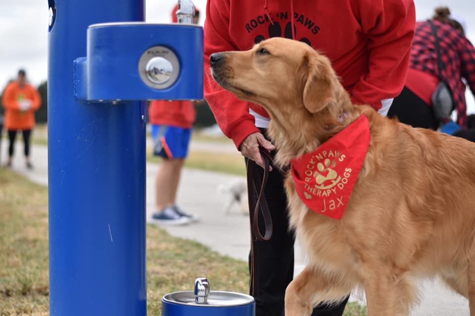
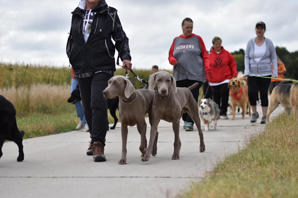
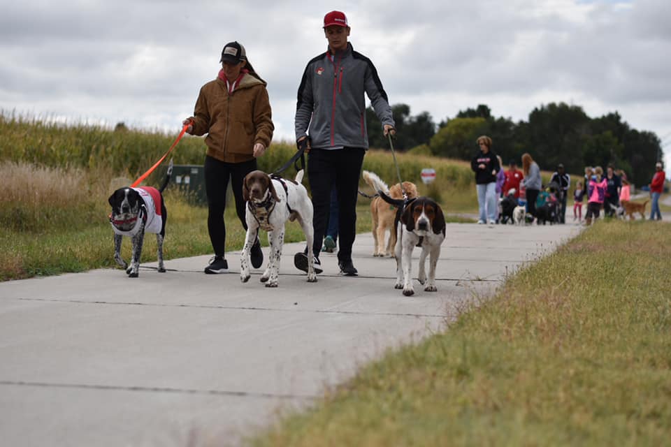
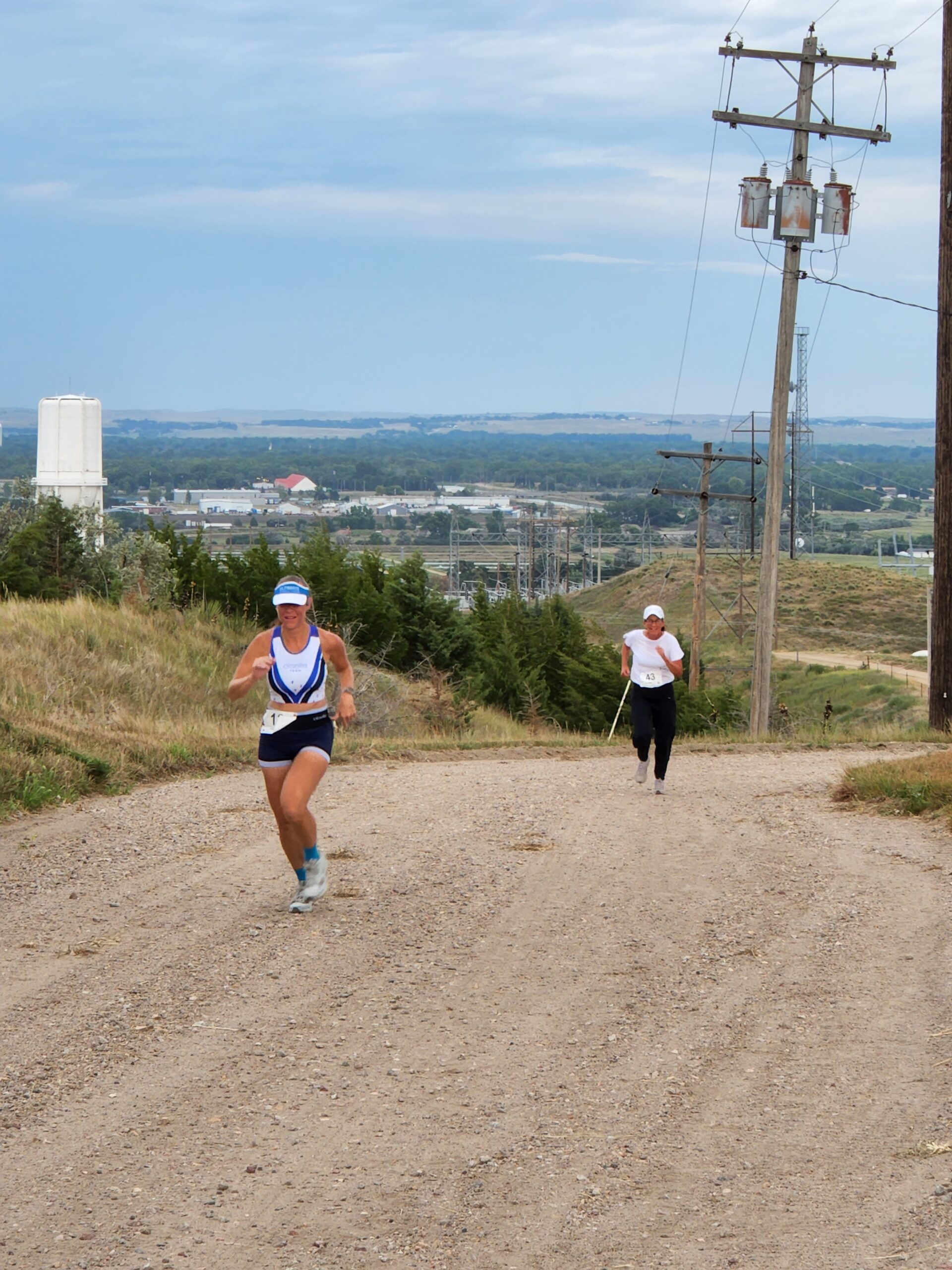
Events


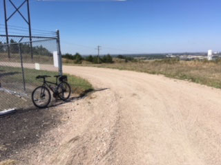
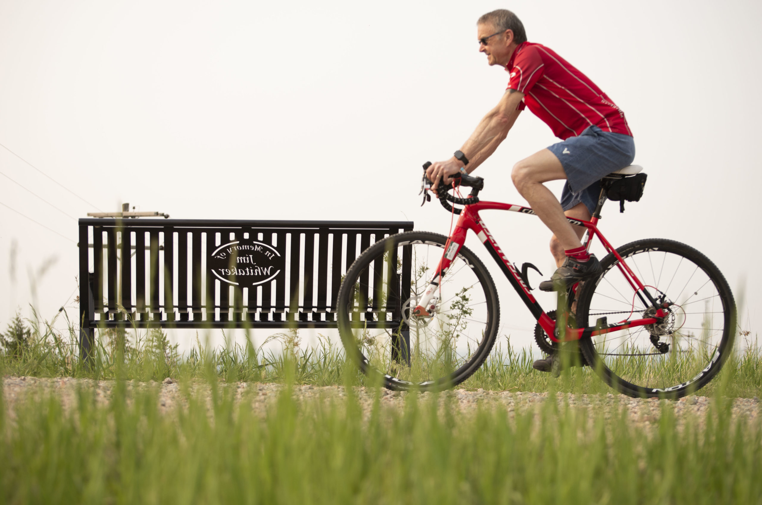
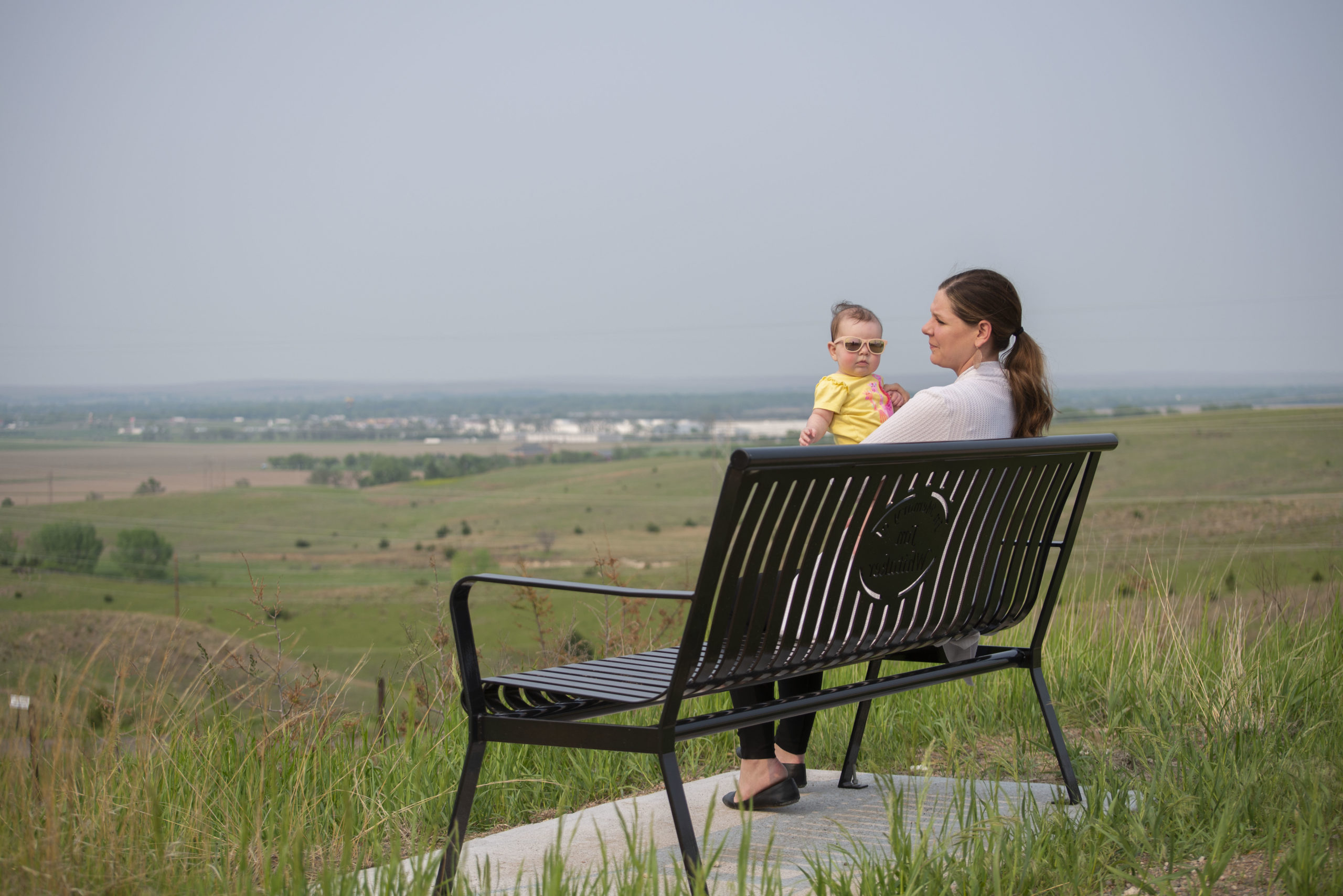
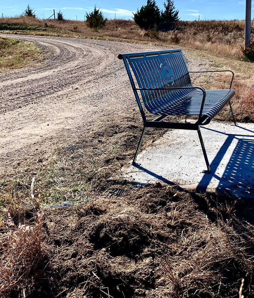
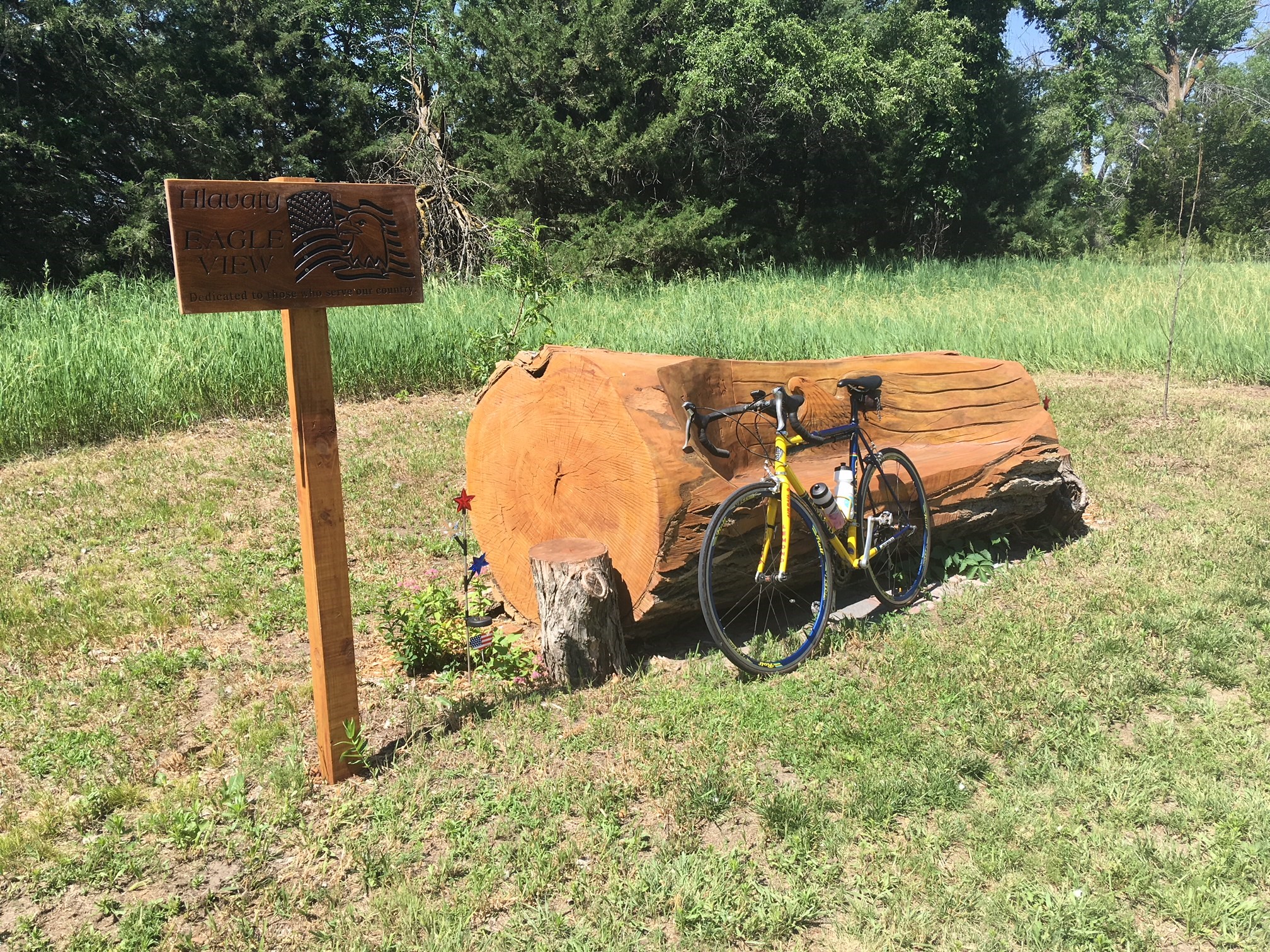
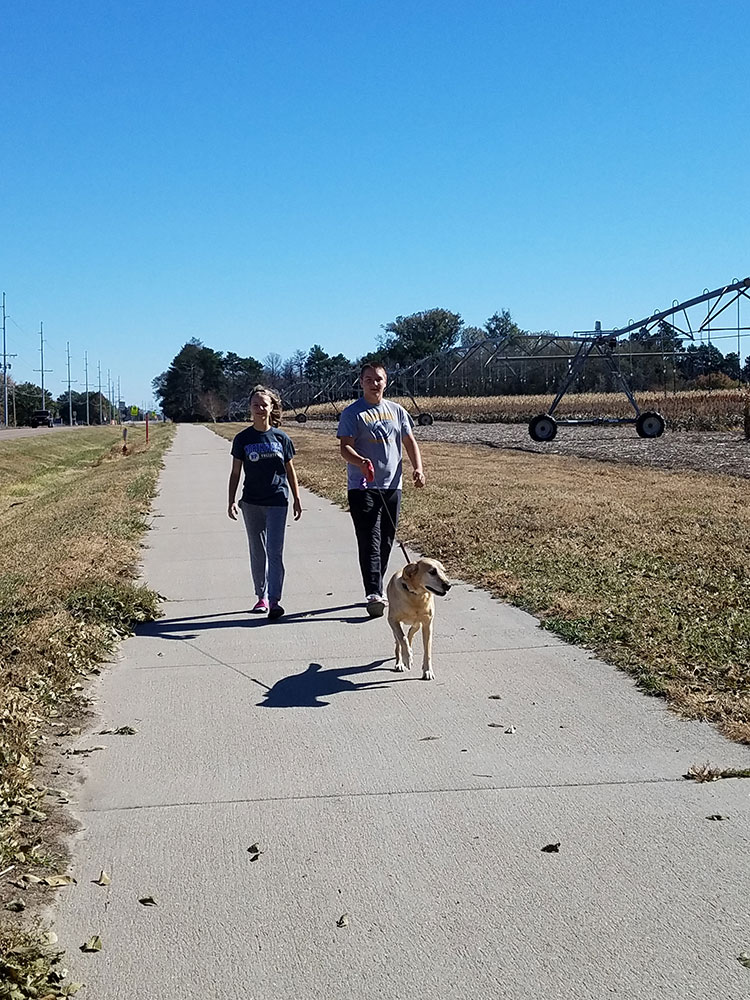
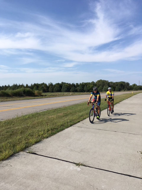
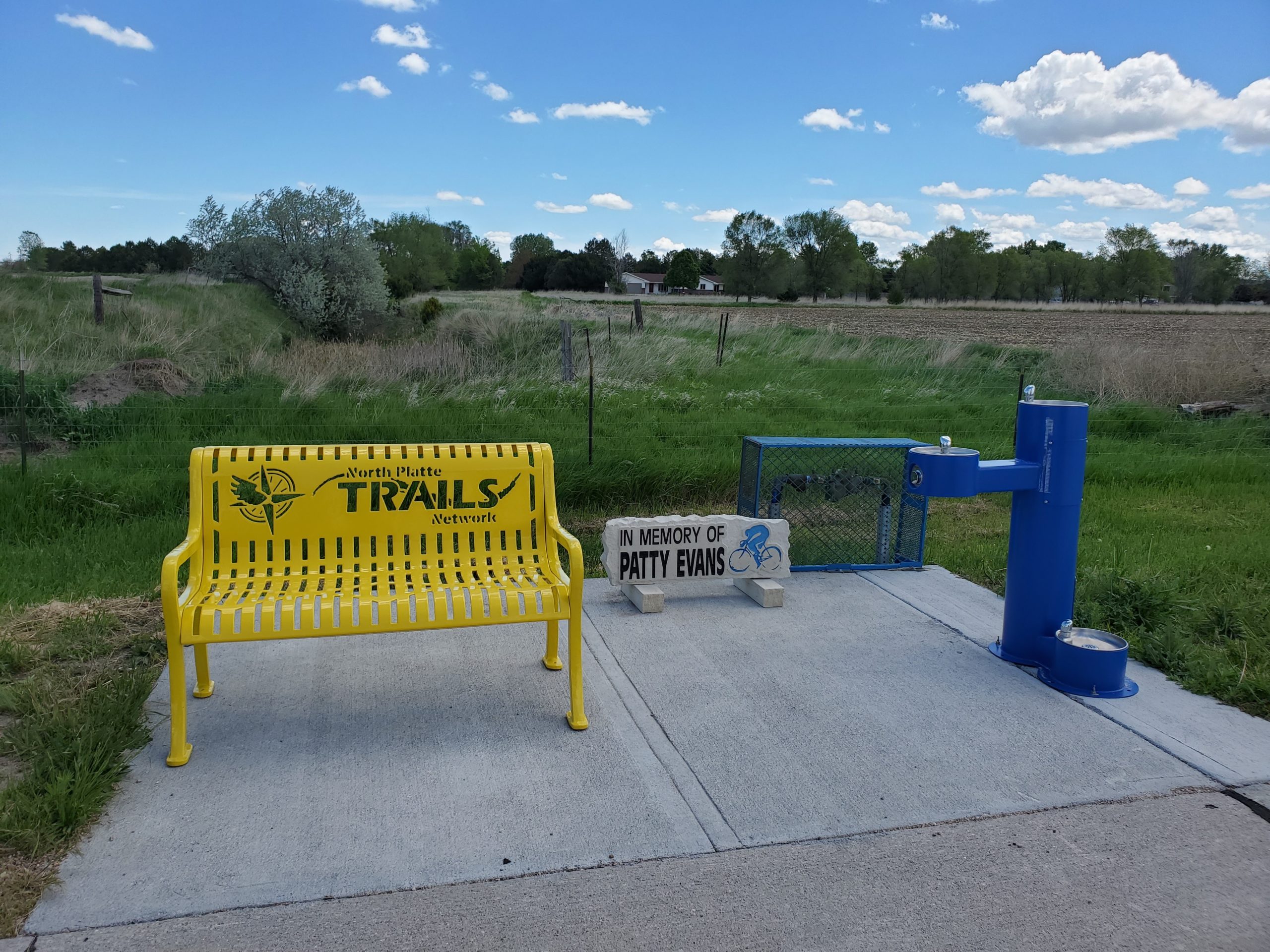
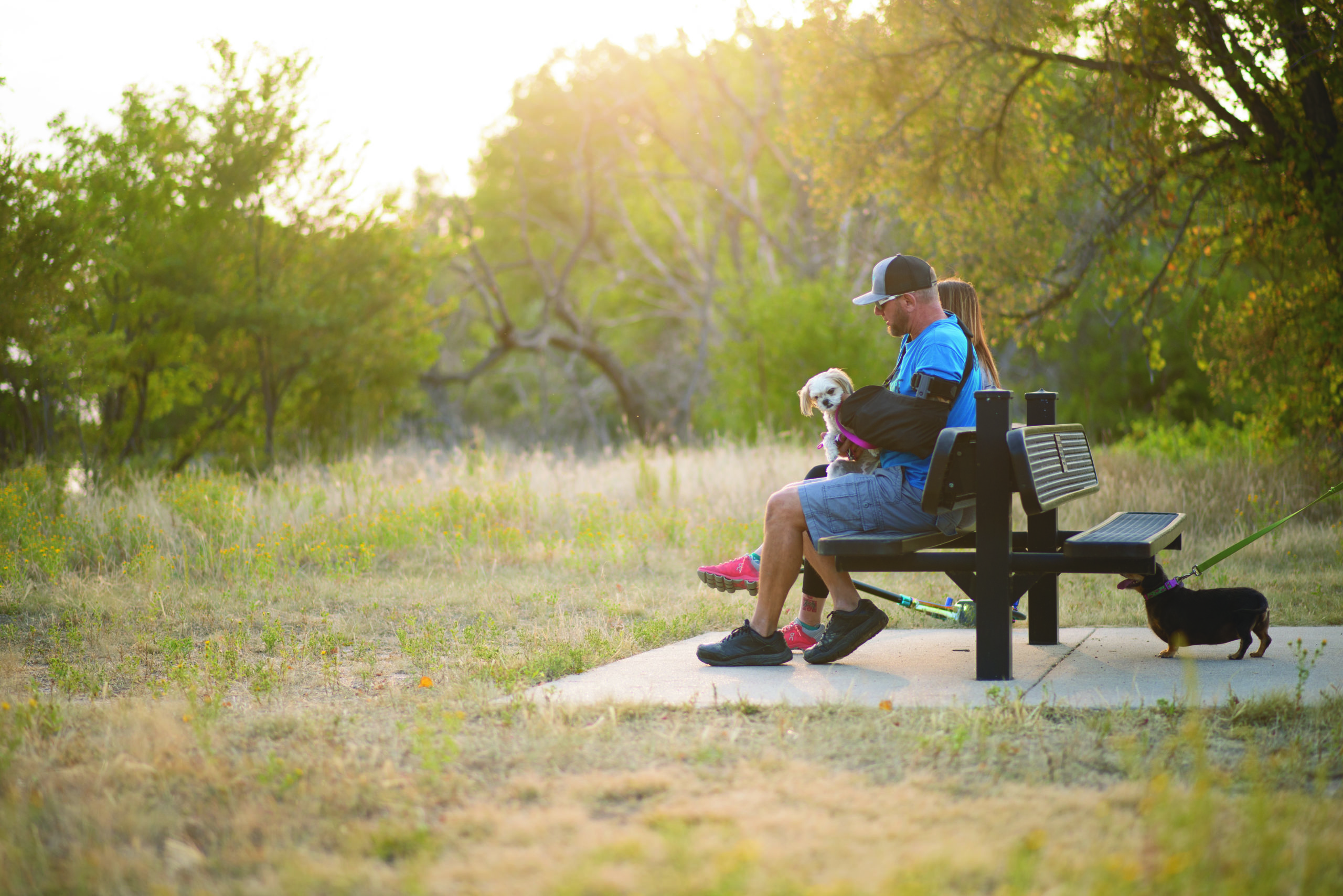
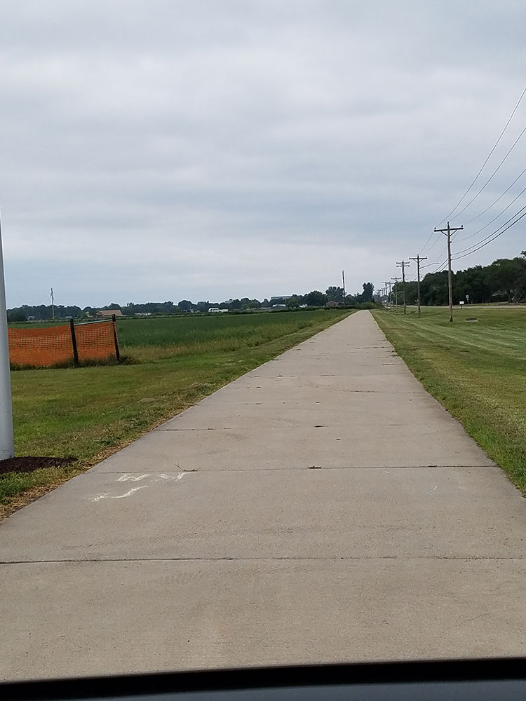
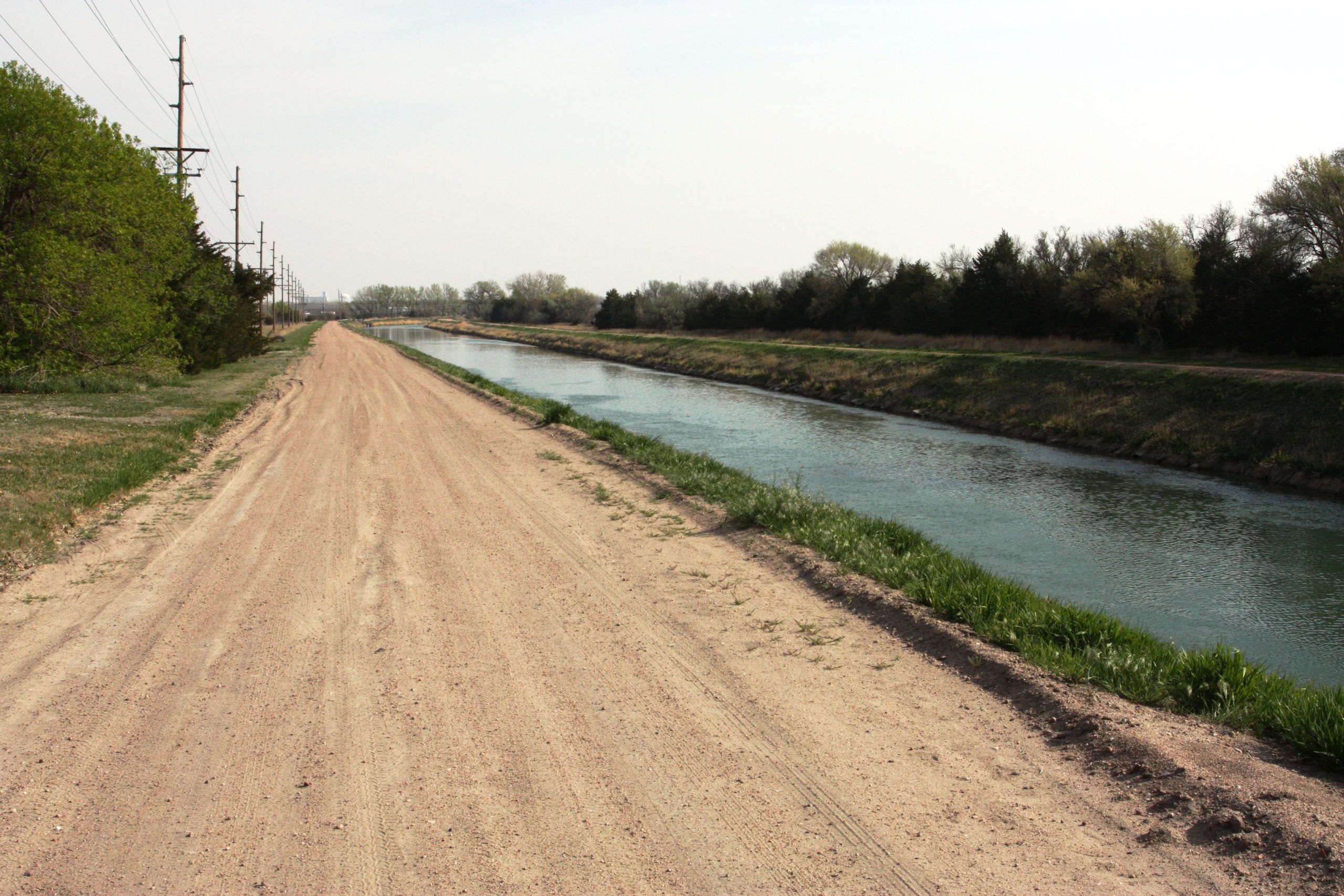
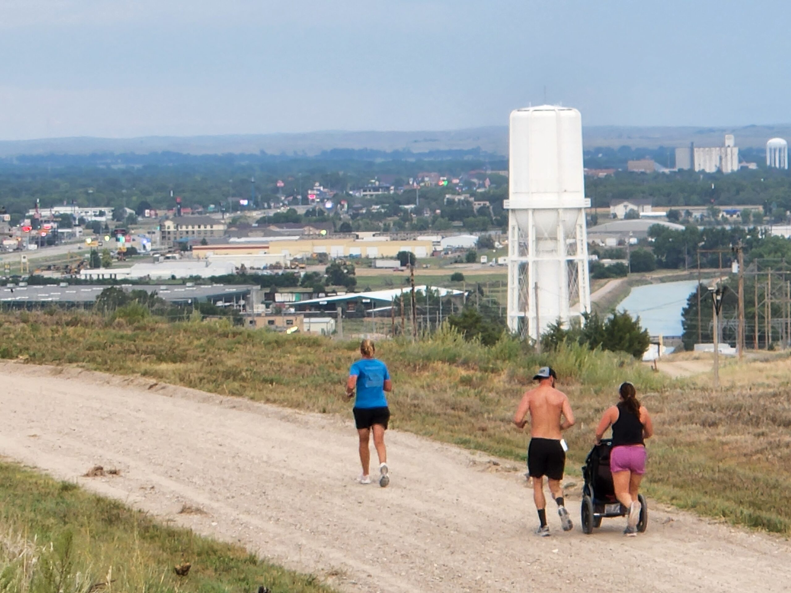
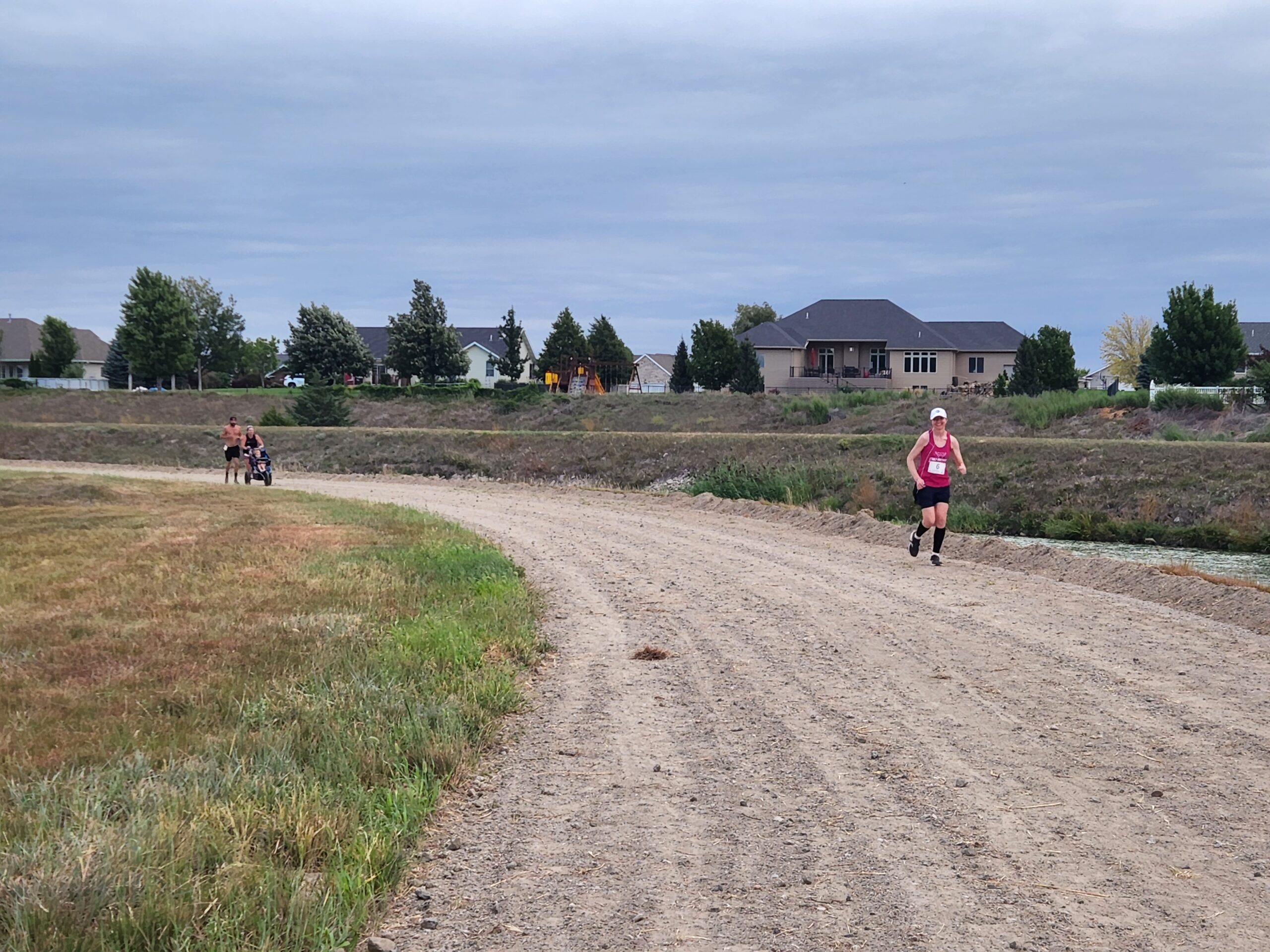
Whitaker’s Way
2.9 Miles
Follow this unpaved trail along the NPPD Canal that leads to Lake Maloney. At Whitaker’s Lookout Point, you will find a bench in memory of the late Jim Whitaker, a former Mayor of North Platte, who was passionate about trails and recreation. Bench donated by the NP Trails Network.
Images:
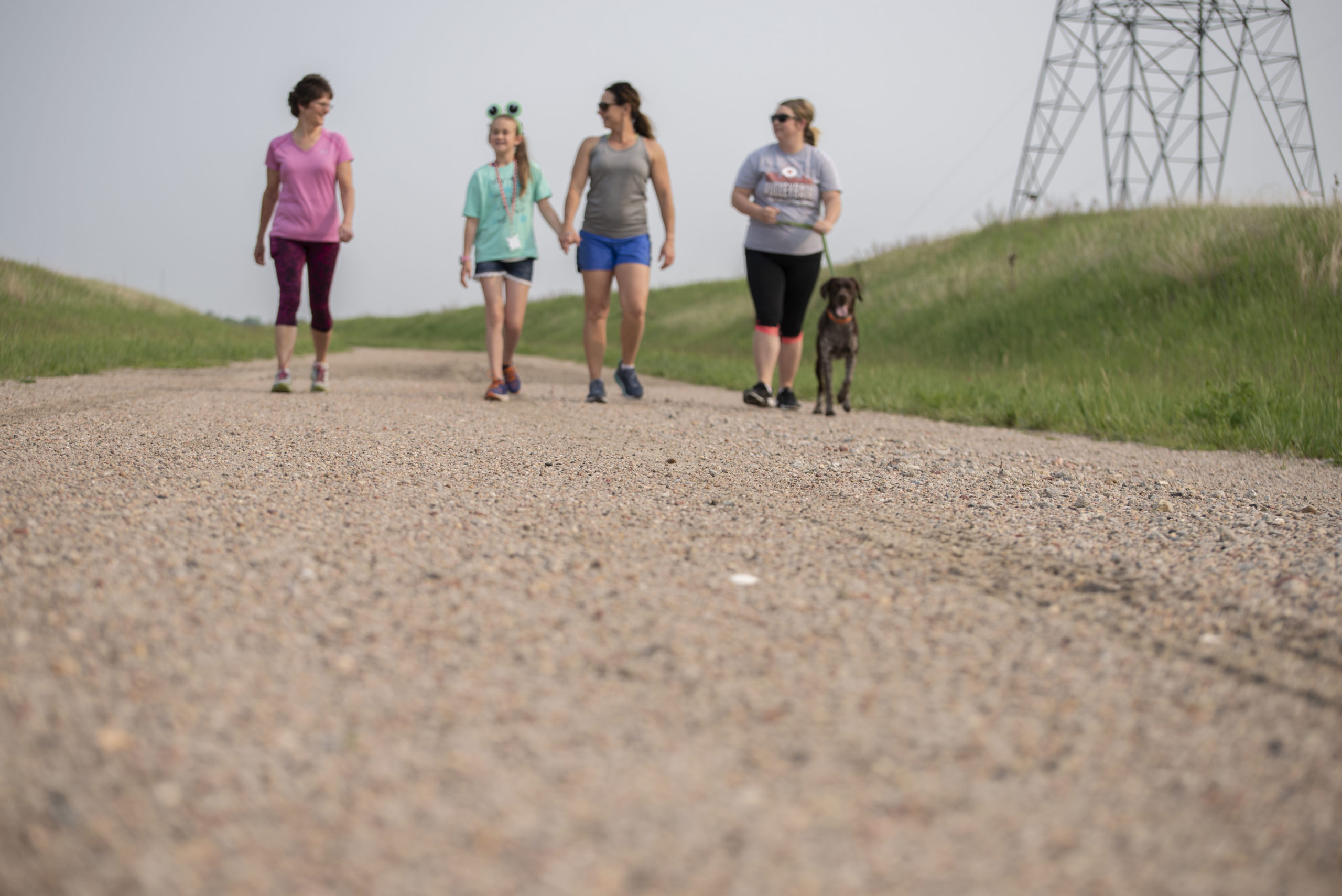


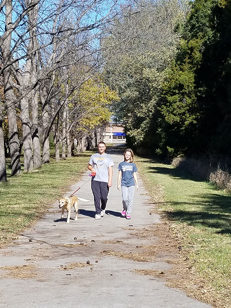
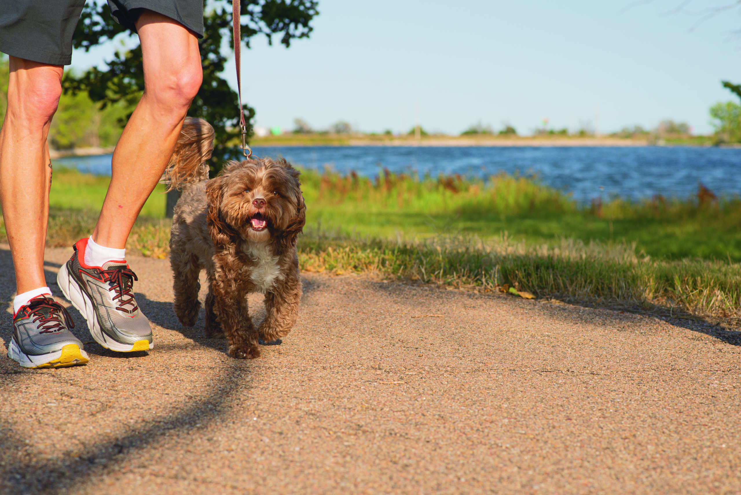
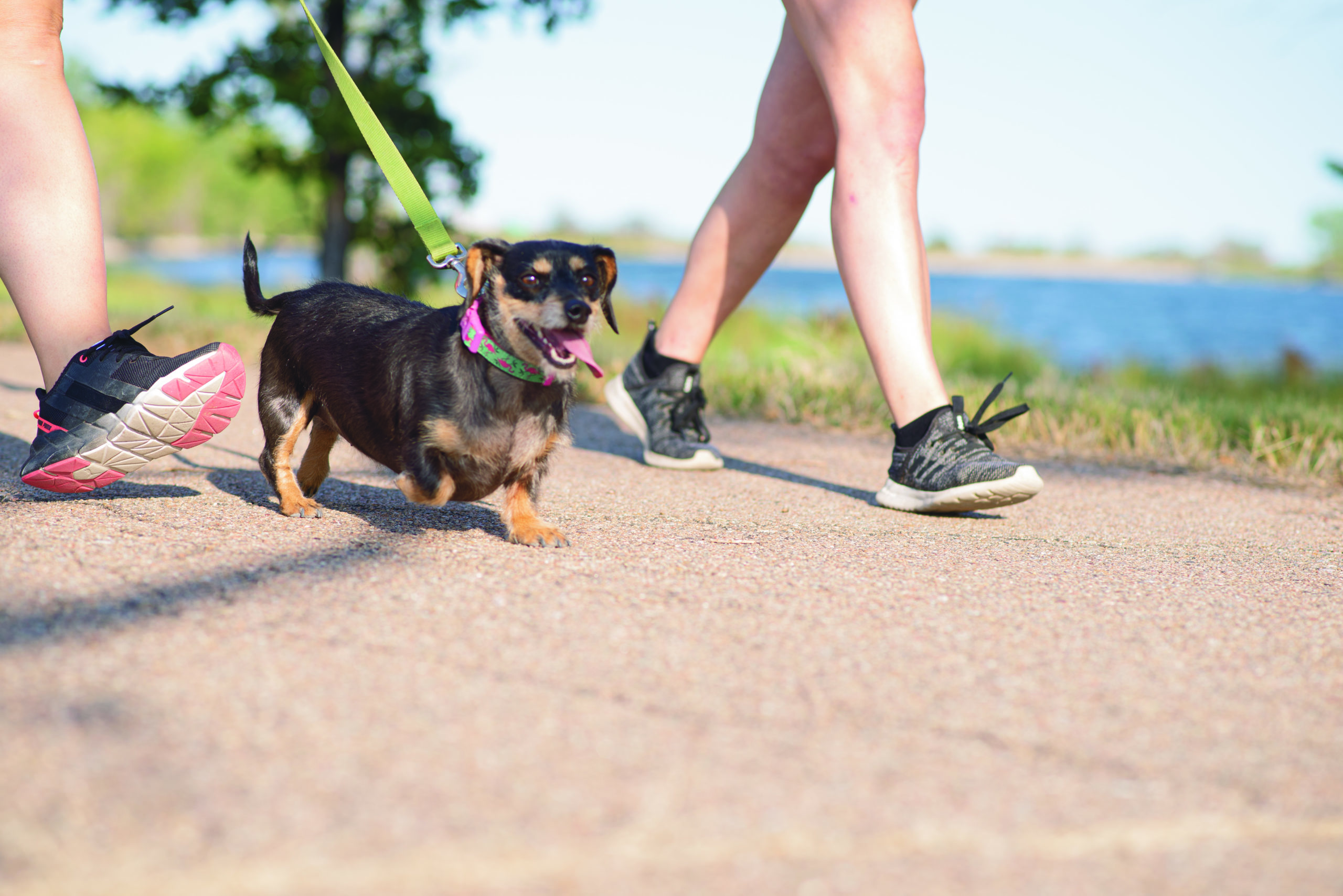
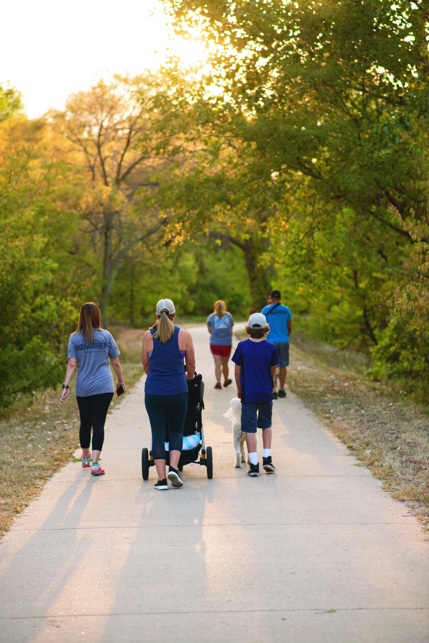
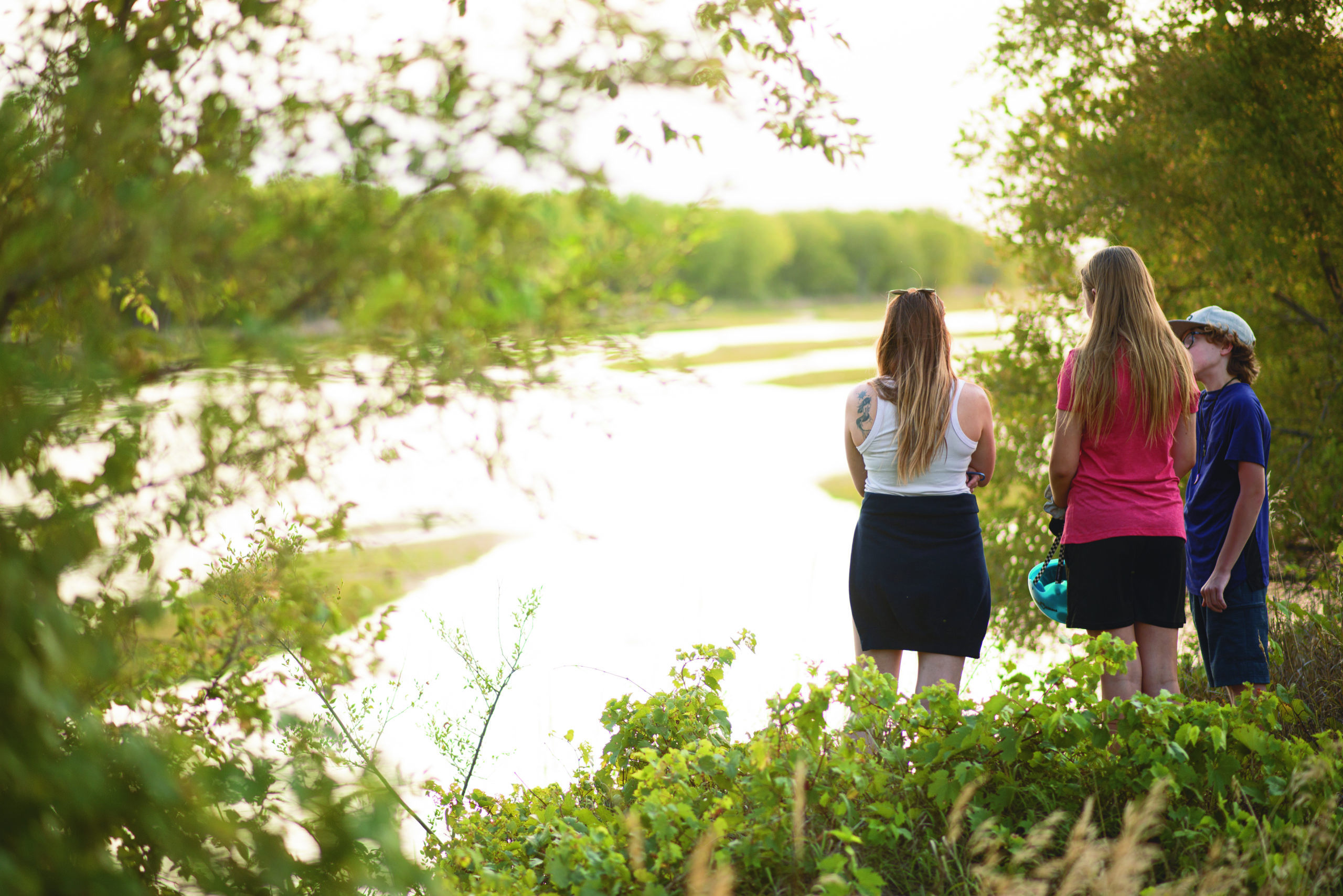
Lake Maloney Trail
2.9 Miles
The paved Lake Maloney Trail runs along the west side of the lake from the edge of South Beach, passed Lake Maloney Golf Course and to Kansas Point camping area (the inlet).
Images:


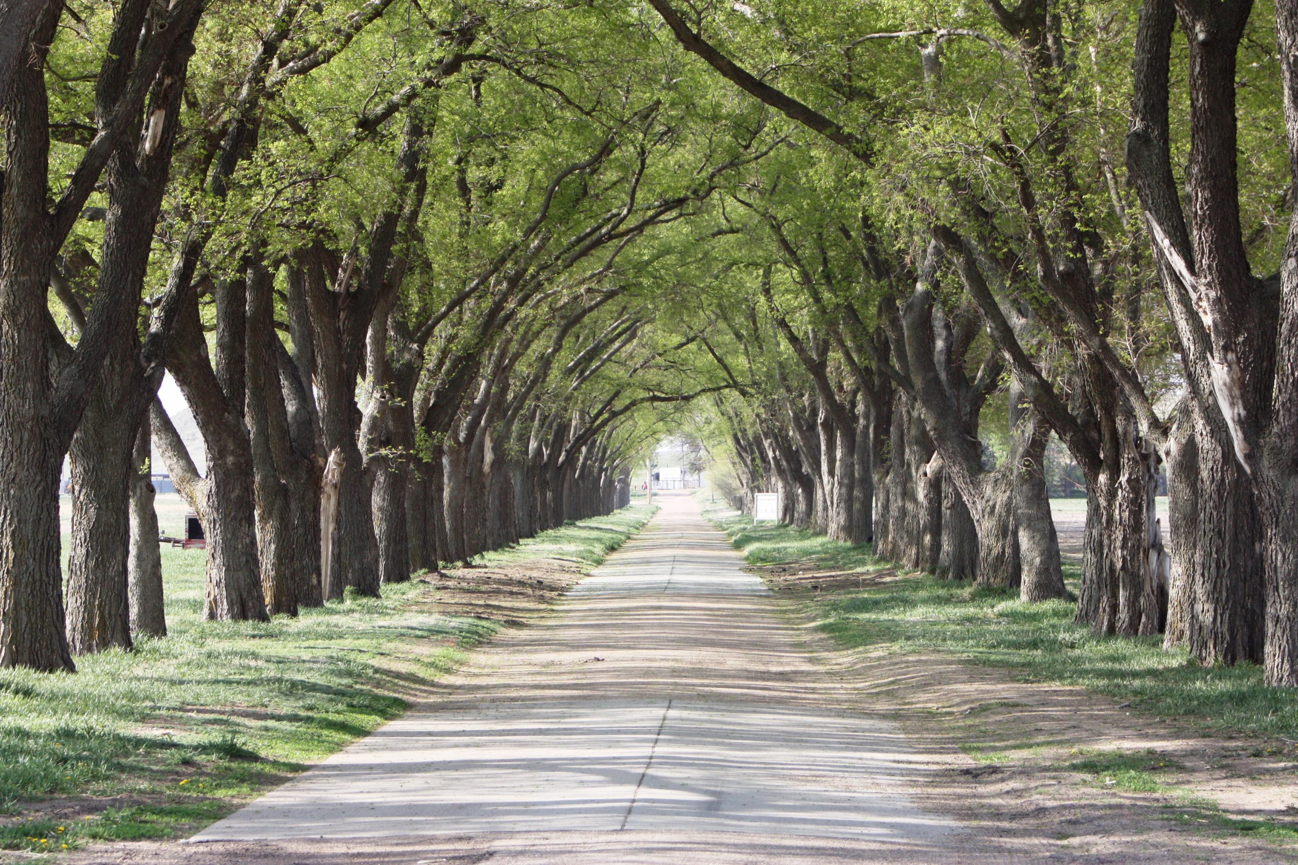
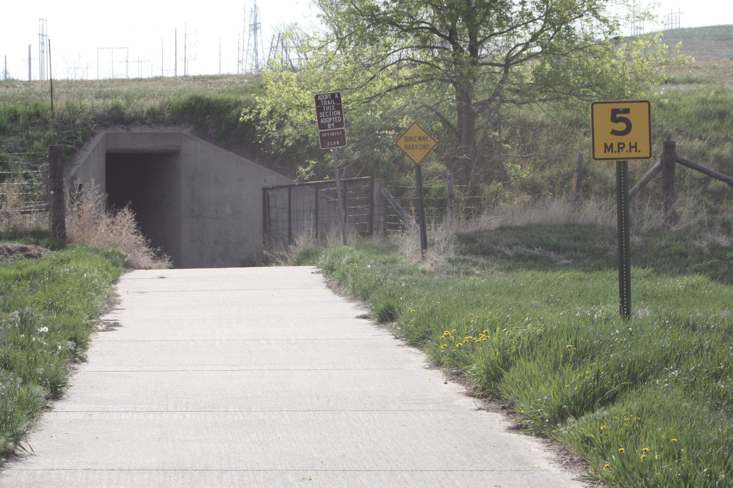
State Farm Trail
1 Mile
The paved trail runs from the Nebraska Game and Parks Fish Hatchery and winds through the University of Nebraska Extension campus and down State Farm Road, connecting to Buffalo Bill Road/Trail. To accommodate crossing HWY 83, you will continue through an underpass called “cattle crossing”.
Images:
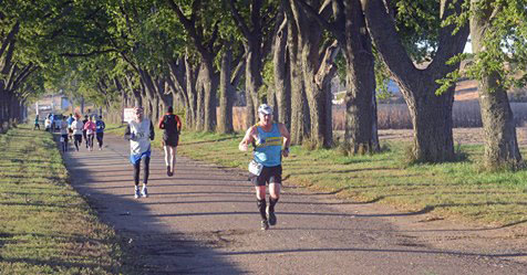


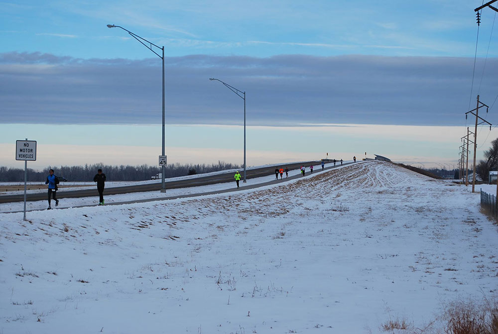
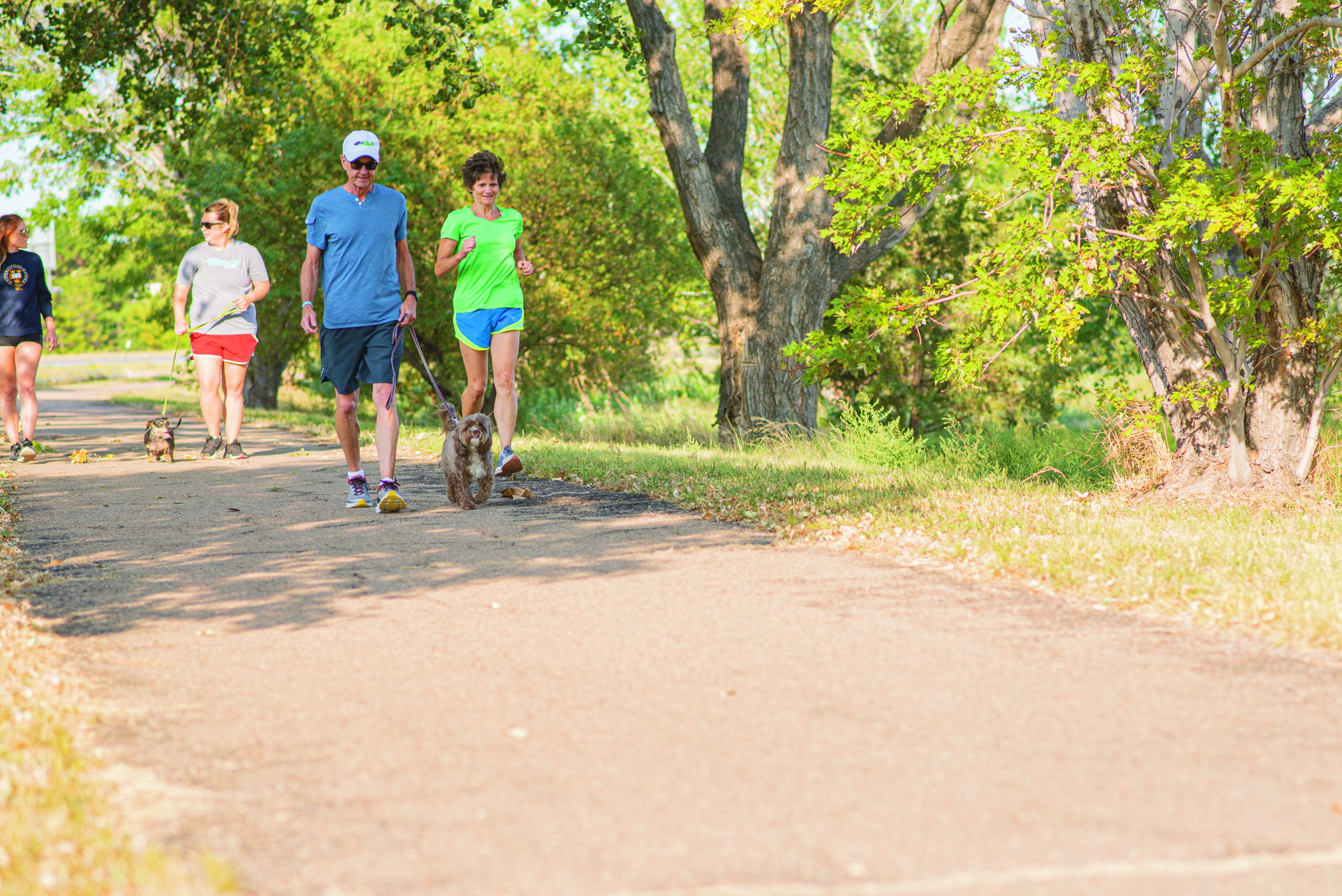
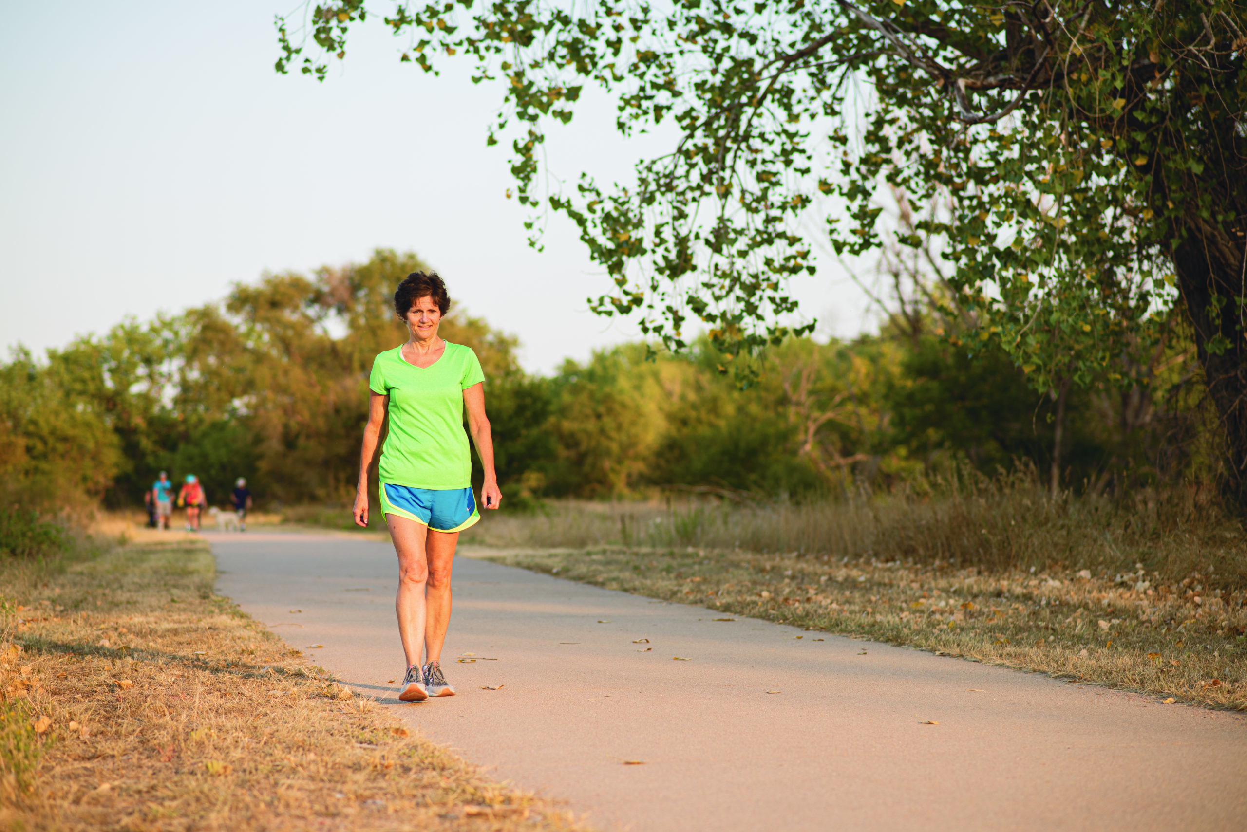
Buffalo Bill Trail
5.0 Miles
This trail runs along Buffalo Bill Road and is a favorite for walkers and runners. From State Farm Road to Leota Street is a paved trail and from Leota to Rodeo Road is an on-road trail. North of Rodeo Road (HWY 30), the paved trail connects to Scouts Rest Ranch.
Images:


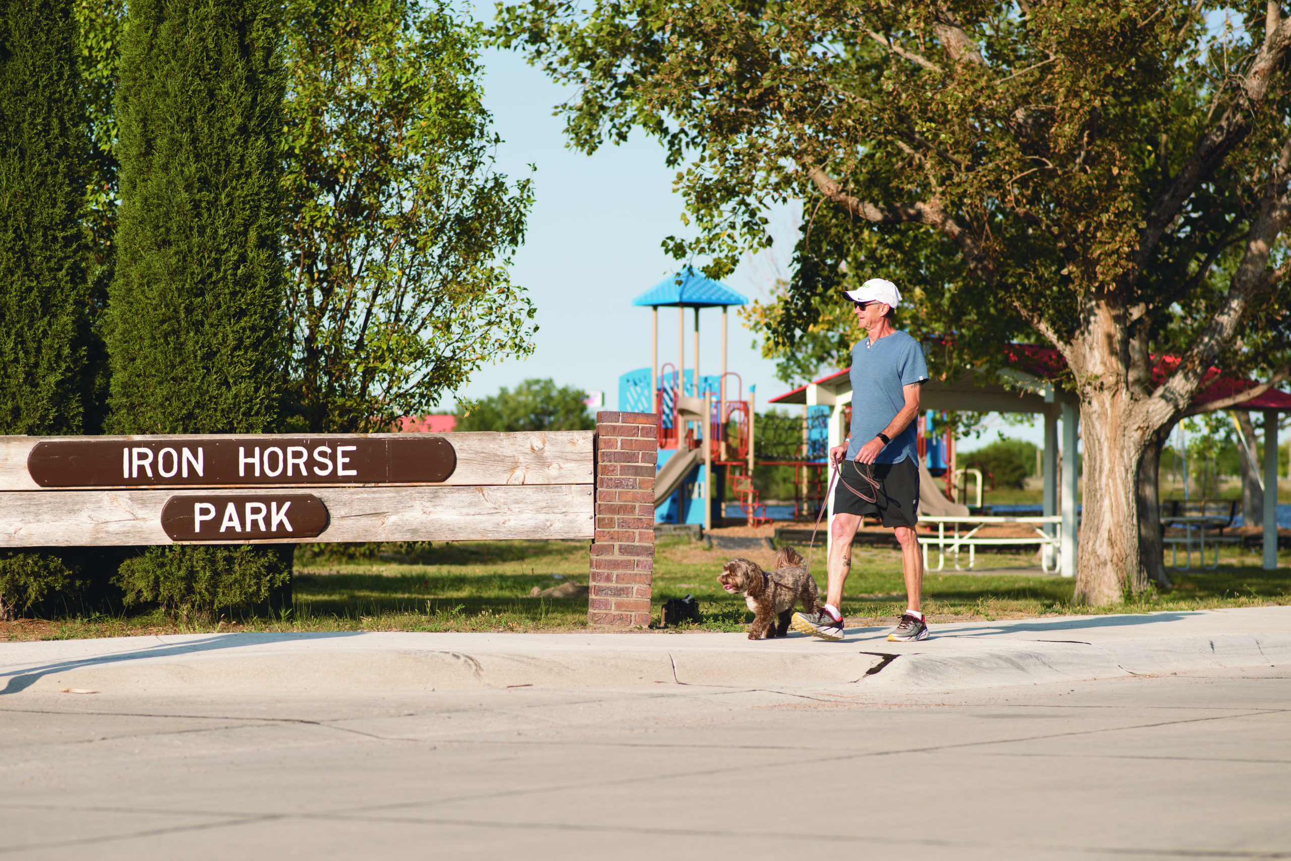
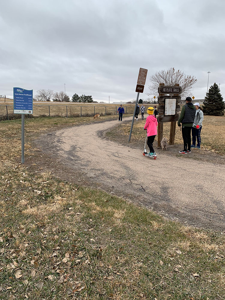
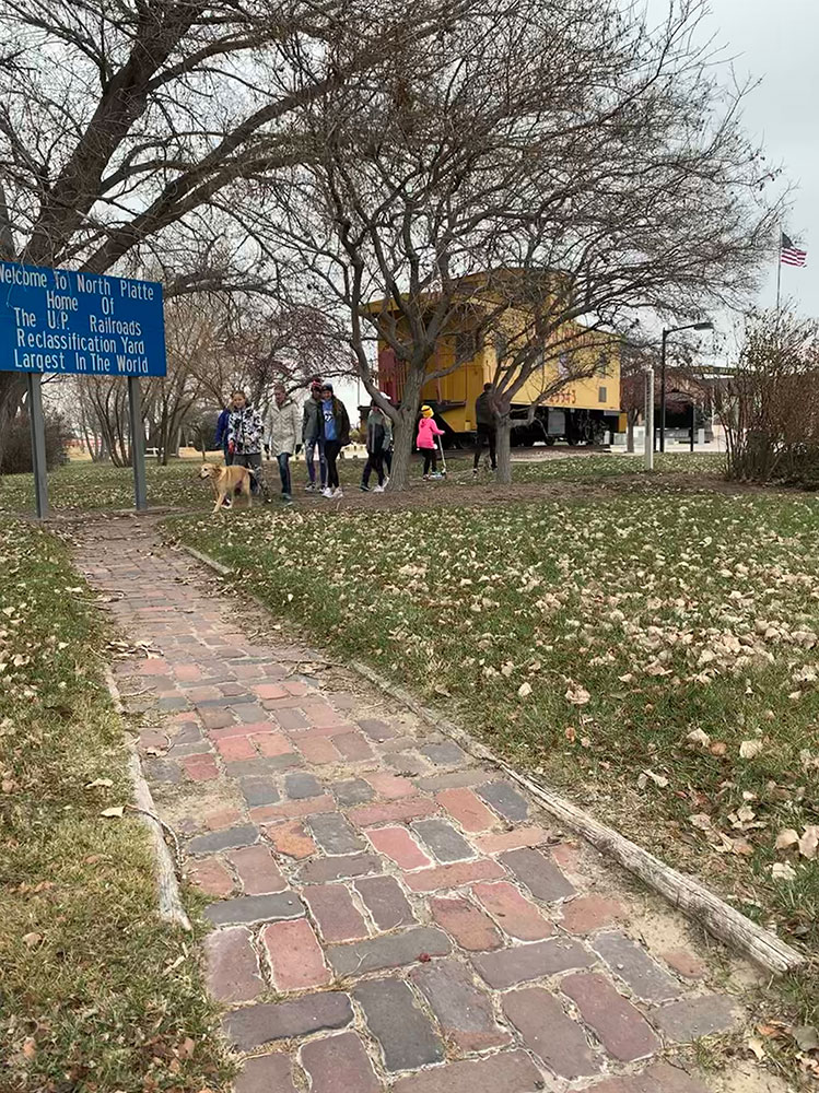
Iron Horse Park
.82 Miles
Short off-road trail makes a scenic loop around Iron Horse Lake, connecting the Halligan/Canal Trail. Parking can be found at the 20th Century Veterans Memorial.
Images:

Centennial Park Trail
1.4 Miles
A paved trail along the South Platte River is easily accessed by parking at the North Platte Visitors Bureau. Starting west of the parking lot, the trail runs under the river bridge, looping around and over the bridge, along the South Platte River, passed the North Platte Recreation Center and connects to Buffalo Bill Road/Trail.
Images:


South Willow Trail
2.0 Miles
A trail that connects kids to education and recreation. Commuting to Osgood Elementary School or both campuses of the North Platte Community College is accessible via this trail. This trail will soon complete a larger loop to stretch along State Farm Road and connect back to the Buffalo Bill Trail.
Images:


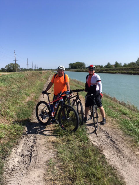
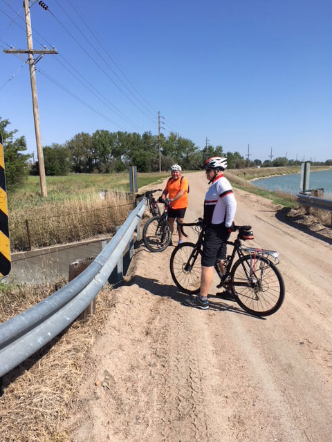
Halligan/Canal Trail
3.1 Miles
This trail begins at the intersection of Newberry Access Road and Halligan Drive, under the underpass, along the NPPD Canal (turns to gravel) to Walker Road and then to State Farm Road where it connects to the North Platte Community College campuses. This trail also connects with Iron Horse Park.
Images:

Lakeview Loop
2.8 Miles
The Lakeview Loop offers a nice partially paved trail connecting from the corner of Buffalo Bill Road and Leota Street to South Bare Ave, Sunset Drive, Lakeview Drive, and back down A Street for an extra loop to your adventure!
Images:


Dodge Hill Trail
This extension gives riders and runners a safe alternative route connecting Dodge Hill Trail to the Whitakers Way Trail. The trail gives access to an underpass under High Way 83 so that bikers and runners will not have to be impeded by the traffic up the road.
Images:
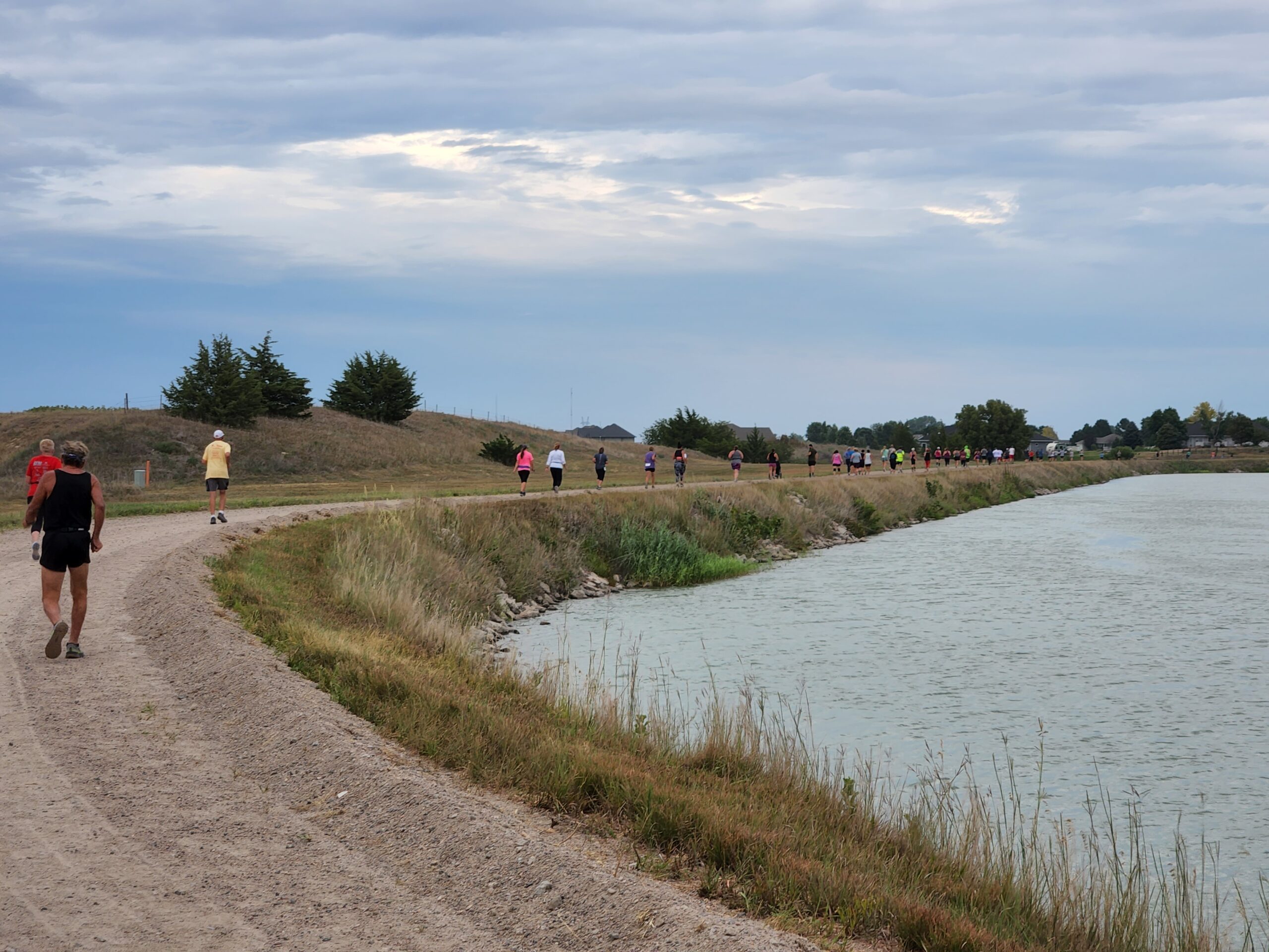

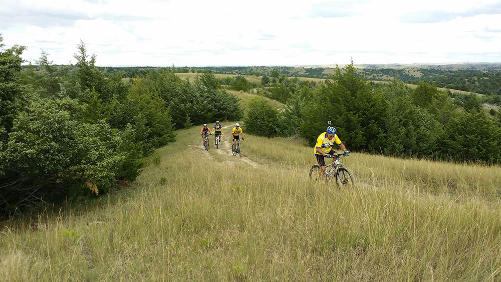
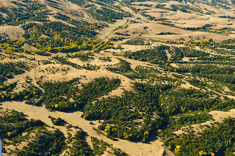
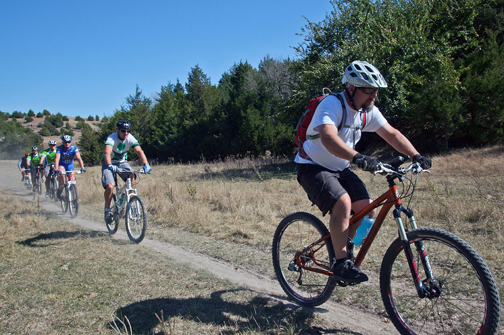
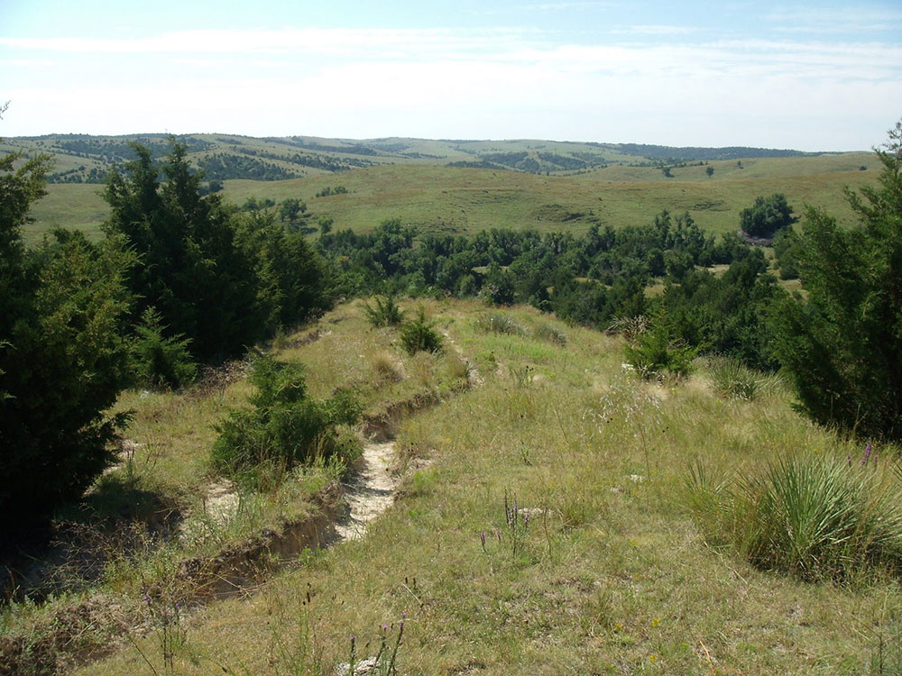
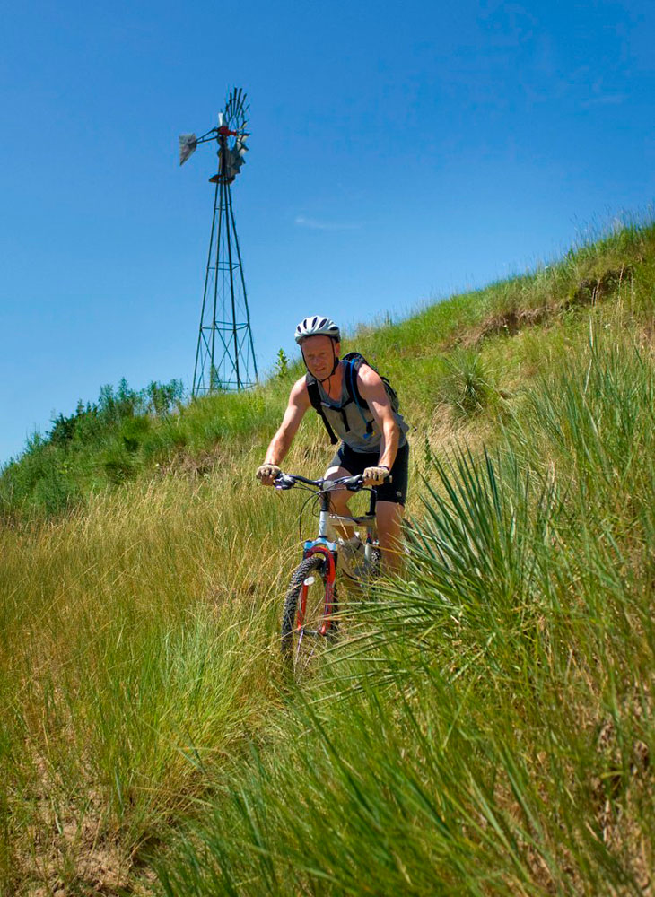
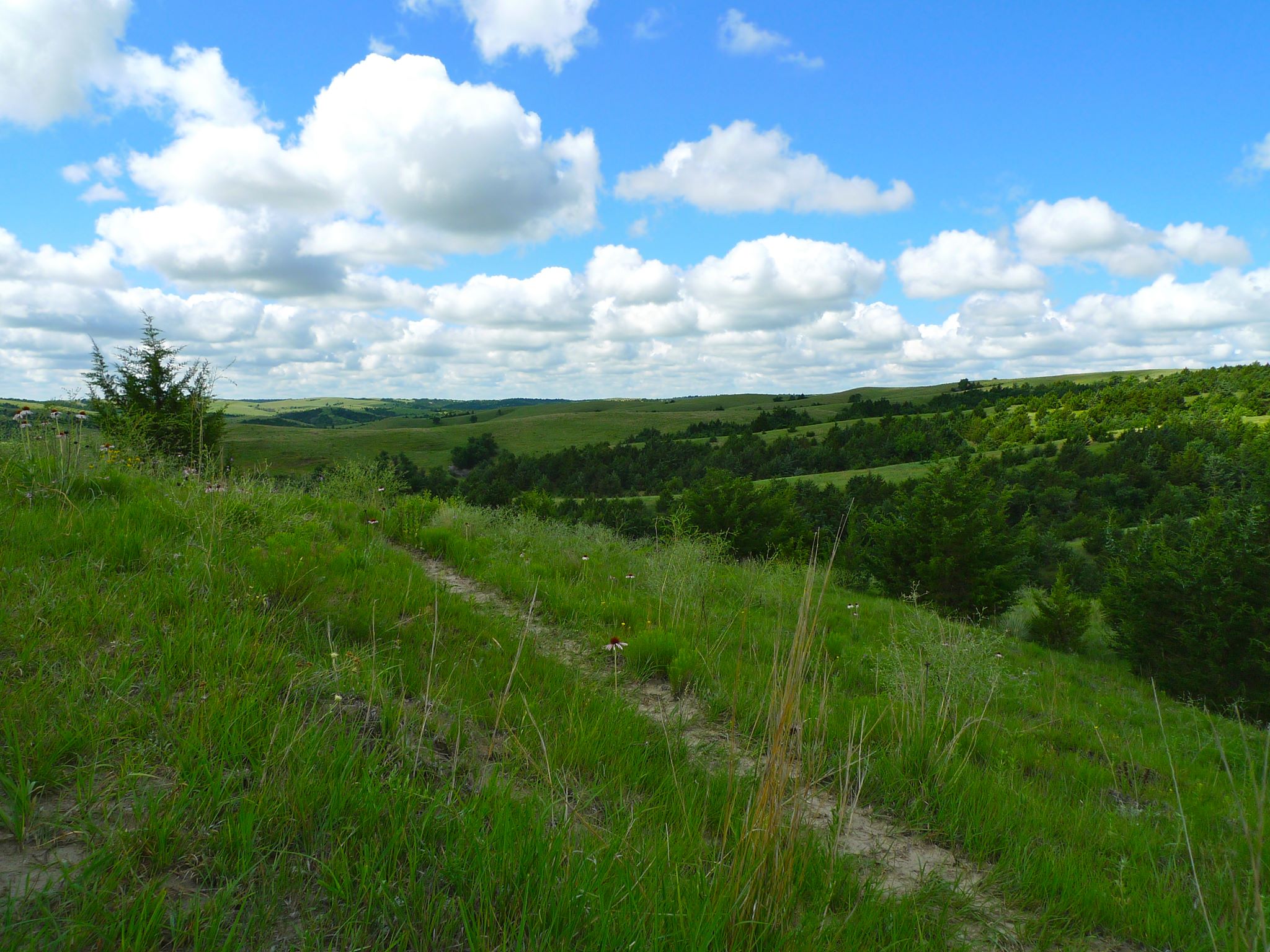
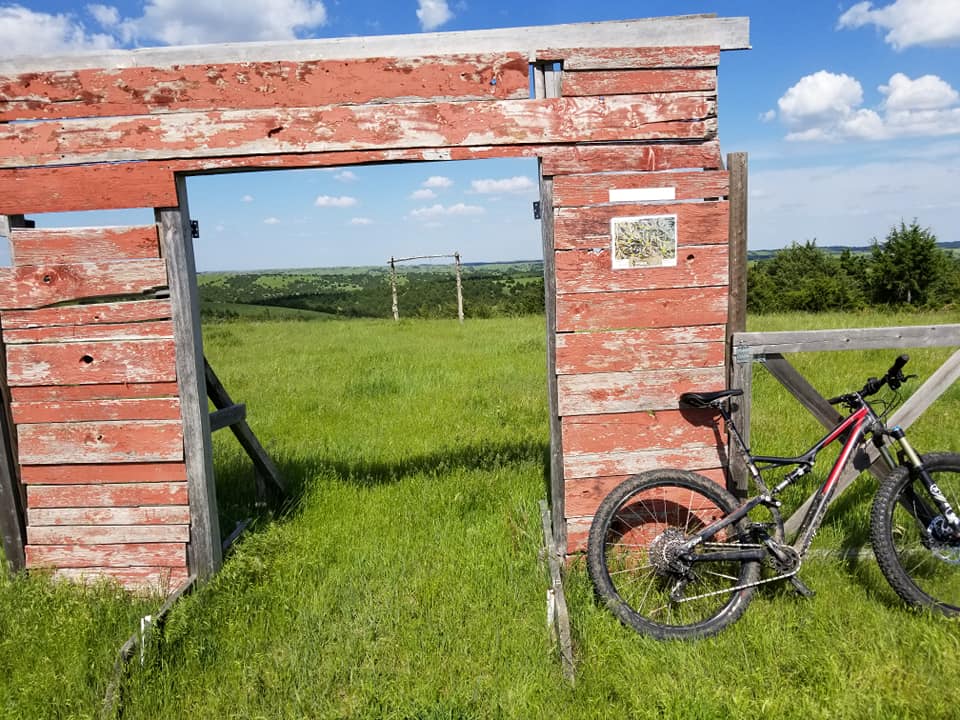
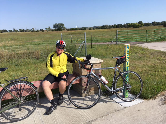
Potters Pasture (Brady)
100+ Miles
Some of the best mountain bike trails in Nebraska can be found 3 miles south of I-80 exit 199 on Brady-Moorefield road. Potter’s Pasture consists of close to 100 miles of trails through 1,200 acres of hills and canyons, thick groves of trees, and native grasses that populate the hill country south of North Platte. There are a wide variety of trails from easy open ones that are suitable for riders of any ability, including children, to extremely technical trails best suited for advanced riders. Potter’s Pasture is privately owned but free and open to the public. A network of volunteers and riders create and maintain the trails as well as host events and races throughout the year.
Images: